On Saturday 7th March 2020, the tenth Open Data Day took place with people around the world organising over 300 events to celebrate, promote and spread the use of open data. Thanks to generous support from key funders, the Open Knowledge Foundation was able to support the running of more than 60 of these events via our mini-grants scheme.
This blogpost is a report by Patrick Ken Kalonde from Youth for Environmental Development in Malawi who received funding from the Foreign and Commonwealth Office to inspire university students to take action and contribute to environmental protection through mapping.
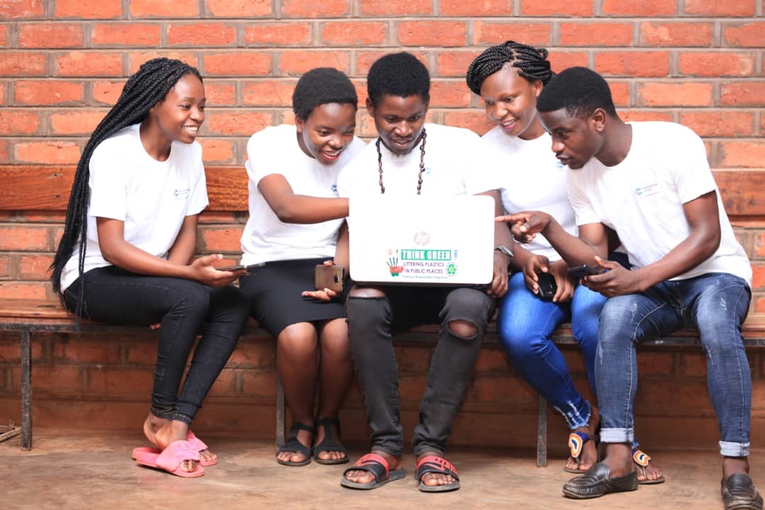
University students just finished data collection exercise. Everyone was curious seeing captured photos being turned into a waste disposal map. One after another, groups synchronised photos they captured on open access platform. A few minutes later, map showing waste dumping locations across the university campus was ready.
You might wonder what is really happening. This is in Malawi, and the students are from the Lilongwe University of Agriculture and Natural Resource. The students were participants in an event organised by their peers from Youth for Environmental Development (YED), a youth-led community-based organisation operating in a small area of 310 households in the capital of Malawi, Lilongwe.
The event was organised to celebrate Open Data Day with the idea of sharing knowledge about how open data on waste disposal can help to trigger innovations and solution to make our communities clean. This is also partly to inspire the university students to think on innovative data solutions.
Nearly 4 hours prior to this particular moment, my colleague Alick Chisale Austin presented about YED, its activities and why the group is cerebrating Open Data Day.
University students were amazed to learn how YED, a group comprised of volunteers comprising of secondary school students, university students, graduates and school leavers from the community, unified with a common desire to make their community free from careless waste disposal practices.
It did not take long before I took the stage, sharing why our volunteer youth organisation has focused on citizen science in confronting the problem of poor sanitation/waste disposal in the community. Several maps were presented with the first one illustrating the location of my community, my home and its key features. The second one presented the same community with waste dumping locations mapped in 2017. According to the second map, 67 percent of the waste dumping locations are right in our local rivers.
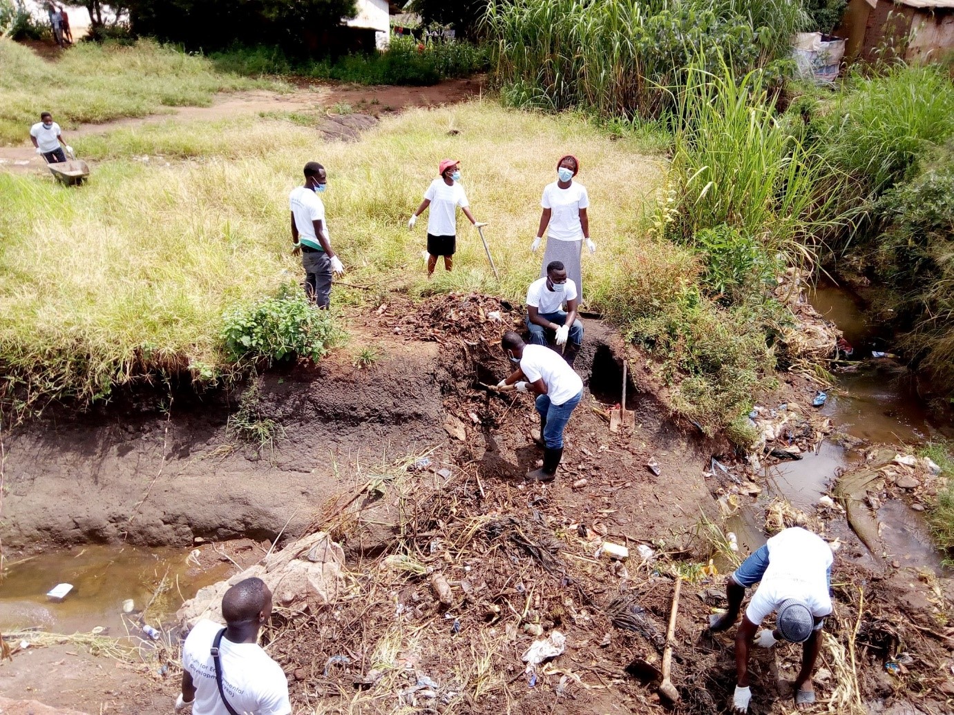
With the presentation of the status quo, I quizzed the audience on whether they think it is a problem or not to have trash accumulating in our river networks. Unanimously, the audience responded it is very undesirable to have them. I also shared information about the clean-up campaign which our group organised in our community back in 2019. We joined what was trending on social media through the #TrashChallenge.
I presented how information and knowledge is generated from data. It was clear to us that spatial data can be used as strong evidence to inform our decisions regarding solving poor waste disposal problem. Not only that, much as the problem of waste disposal is of public concern, I presented the need to have open data platforms for environmental protection.
At this point, I introduced the tools students can use to contribute to making our communities clean by gathering evidence to inform our decisions like Open Litter Map (www.openlittermap.com), an online platform that allows the locations of litter sites to be captured using a smartphone. This data is uploaded online where it can be accessed by anyone.
I then introduced a practical and hands on exercise of going around the university campus mapping all trash dumping locations. When they finished collecting data, they came back to upload the data online. Moment later when uploaded data was verified, all university campus waste dumping locations were displayed. I led the participants downloading the data they just synchronised which was later exported to QGIS to prepare a map.
Getting closer to the end of the Open Data Day celebrations, some participants explained that they were interested to extend the environmental data mapping exercises they just learnt when they move back to their various communities. Others were more motivated to continue carry on our work by extending the message about the importance of data to their personal circles.
Being the first team involving university students mapping their own campus, our team hopes this motivates others to generating relevant evidence, vital in making informed decisions for protecting our environment.