How Fogos.pt is providing an accessible fire map

This blog has been reposted from the Mapbox blog.
In Portugal, a free, open source project is making official fire data more accessible to firefighters, emergency workers, journalists, and the public. Fogos.pt has gained significant traction, receiving as many as a million views a day and half a million unique users a month. We caught up with the creator, João Pina, to learn more.
What’s the backstory on Fogos.pt?
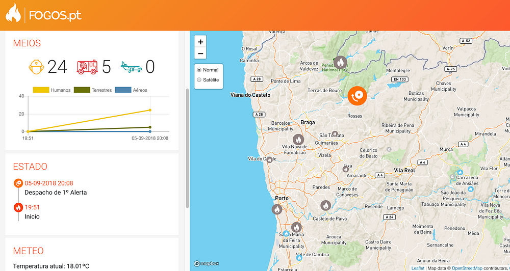
It started with a conversation over dinner, in 2015, with friends who are bombeiros — firefighters — and other emergency responders from the national medical emergency institute. They are good people who work a lot, with low pay and high risk. They were frustrated that in order to get information about fires, they had to go to the civil protection authority website and download PDFs. So I decided to build a website version for them. My goal was to create an easier way to use trustworthy, official data to provide real-time information about the fires to professionals and civilians.
Since then it’s grown over the years, with help from a bunch of contributors on GitHub. In 2016, I released an Android and iOS application, with push notifications alerts for fire outbreaks. With the rising number of users and open source contributors, Fogos.pt is adding more features. That’s the power of an open source community project — the people who use it can build features they need and make them available for everyone. Even just sharing insights on GitHub can inspire great new features.
Where does the data come from?
The fire data comes from open data released by the official authorities in Portugal. I also added data layers for weather like temperature, precipitation, and cloud cover from OpenWeatherMap, which offered to sponsor the project. I was using Google Maps for the basemap, but it became too expensive for a non-commercial project without funding.

How was the move to Mapbox?
The first time I heard about Mapbox was at an event in Oporto for Open Data Day in March this year. Some participants who contribute to OpenStreetMap recommended Mapbox as a basemap and explained how Mapbox supports open source and open data. I then contacted the Community team to ask if they could support this as a non-profit project.
For Fogos.pt, I’ve used Mapbox basemap tiles with Leaflet.js — which I used because it is easier to work with the data from OpenWeatherMap. Mapbox has some very cool and powerful tools — my favorite feature has been the customizability of layers and map controls. All the tools are very user-friendly and the migration from Google Maps was seamless and smooth.
The biggest challenge for a backend developer like me is frontend skills. Open sourcing the project was the solution. People were very generous contributing their work and it became much more user-friendly and accessible — special thanks to my friend Isa Costa, a talented web designer at Bright Pixel, who helped a lot with this.
How’s the map been performing during this year’s fire season?
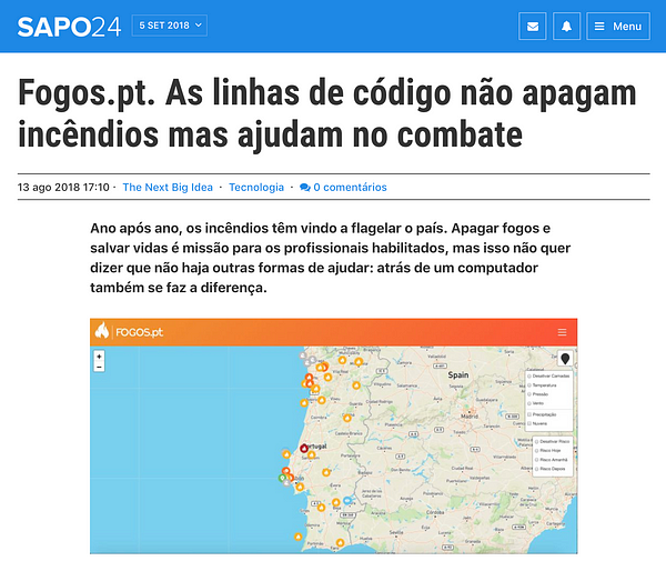
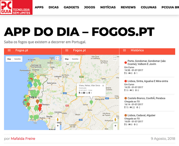
There’s a lot of traffic that comes from social media — from the map being shared on Twitter and Facebook. The news is increasingly starting to use and promote the map. Phrases about fires are some of the most common web searches in Portugal right now — and Fogos.pt appears there most of the time. There’s also a lot of direct traffic from embassy websites because they list Fogos.pt as a resource to help travelers to stay safe.
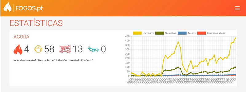
The last few months have been the high season for fires in Portugal. Daily traffic has been very high — and increasing. When there are major fires, there’s been upwards of a million map views a day. Last month, there were over 560,000 unique visitors to the webpage alone — a minimum of 6,700 per day. Everything is working without hiccups and the goal is to maintain that.
What’s next?
I’d like to create sibling projects, for example for floods, droughts, and medical emergencies — and maybe try out some other Mapbox tools, like heatmaps. I’m also using Fogos.pt as an opportunity to support a civil education initiative that informs people what to do in case of the fire and what they can do to avoid it, called aldeiasegura — ‘safe village.’
Many people ask me whether Fogos.pt could be available in other countries. There’s a challenge with data access in some countries — not all authorities release fire data as openly and quickly as in Portugal, so it is harder to recreate something like this. And I’m only one — I would like to see more developers in other countries use Fogos.pt to build disaster maps for their communities. A simple map can have such an impact to help others, and working with the open source community can help you bring everything to a whole new level. People want to help.
João Pina is a web developer based in Aveiro, Portugal. If you want to work on disaster maps with open data and Mapbox, get in touch with João and the Mapbox Community team.


