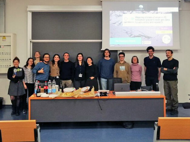
On March 4th, 2024, the Geodetic and Photogrammetric Laboratory (LabMGF) of the Department of Civil and Environmental Engineering at Politecnico di Milano (Italy) hosted the webinar Mapping Climate Change in 4D: Belvedere Glacier’s Open Geo Data for Education and Research. This event was held in celebration of OpenDataDay 2024.
Goal
The webinar showcased the extensive geospatial open data collected on the Belvedere Glacier (Italian Alps). This comprehensive dataset was generated through long-term monitoring using innovative UAV and aerial photogrammetry techniques, a collaborative effort between Politecnico di Milano’s DICA department, Politecnico di Torino’s DIIATI department, and the Alta Scuola Politecnica. The event emphasized the value of this open data for research and educational purposes, readily accessible on Zenodo.
Format and Participation
The webinar combined in-person attendance at Politecnico di Milano with online streaming, enabling wider participation.
The event was organized in two modules, as follows:
Module 1: Introduction (~1 hour)
- Background on the Belvedere Glacier monitoring and research project
- Showcase of the unique Summer School initiative, “Design and Implementation of Topographic Surveys for Territorial Monitoring in Mountain Environments,” serving BSc and MSc students since 2016.
- Presentation on the preparation and significance of the long-term Belvedere Glacier monitoring results and the publicly available open data on Zenodo.
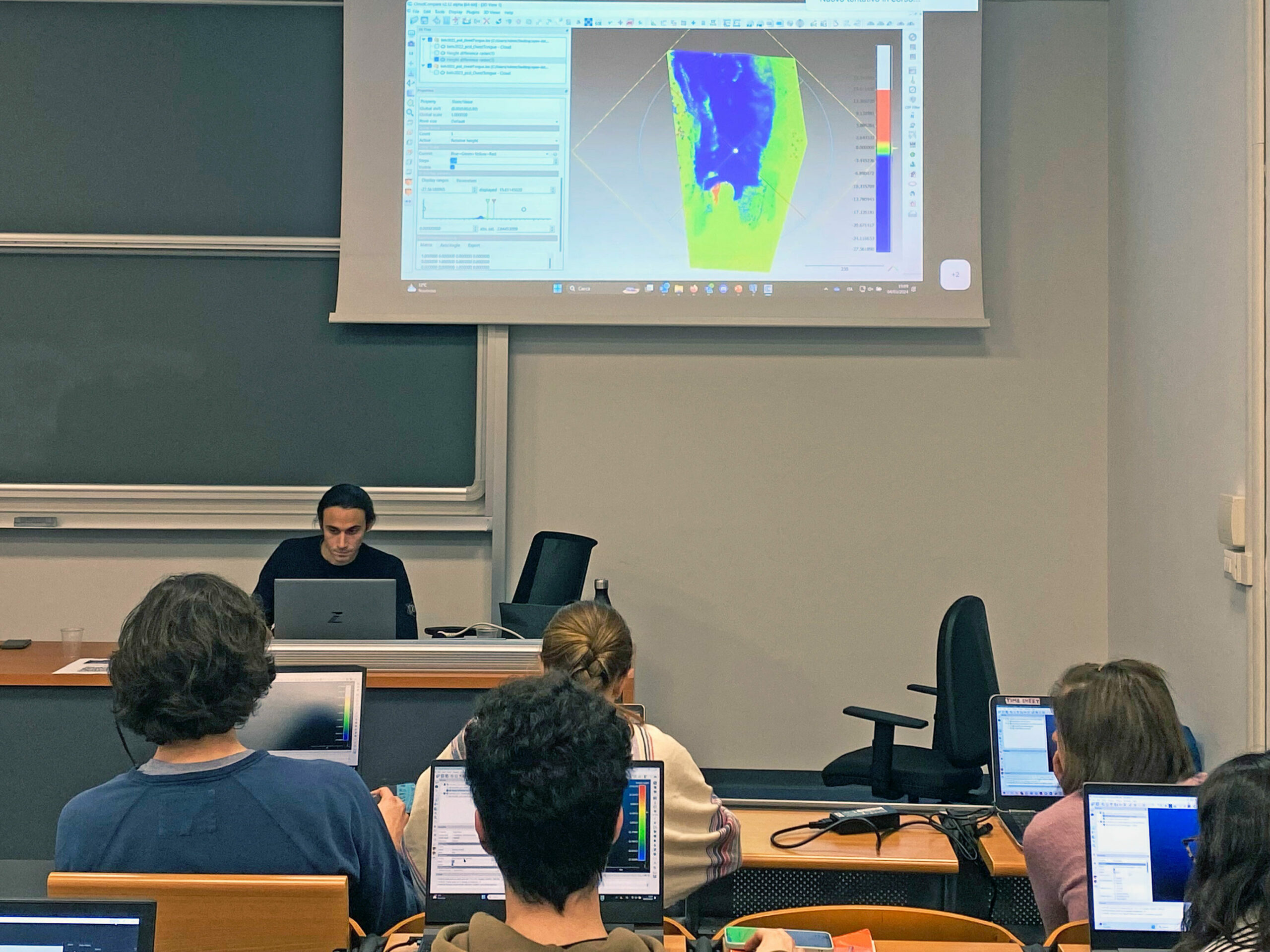
Module 2: Hands-on Workshop (~1.5 hours)
- In-depth tutorials using open-source software (QGIS and CloudCompare) for DTM and point cloud processing, fostering practical skills.
Approximately 20 participants attended the first module in-person, while 9 people attended both modules on-site. Additional 25 people joined the event online.
Resources
- Webinar Slides
- Belvedere Glacier Open Data (Zenodo): Version 2.0 includes 3D point clouds, DSM, and orthophotos from 1977 to 2023. License: GPU GPL 3.0.