Colombia has been present in the celebration of Open Data Day with participation in different events in various cities for several years. From the OpenStreetMap-OSM Colombia community, we have found in this date a space to invite citizens to become new contributors to the map. Events with different approaches have been held in the past with such focus. Sometimes, the planning, organisation and subsequent realisation could require a lot of work on the part of the volunteers, and sometimes the retribution of doing an event with a good audience was not appropriate, which generated a bit of disinterest in retrying it the following year. To avoid that, this year the OSM community decided to join forces and make a bigger event in Colombia, holding the same activity in different cities.

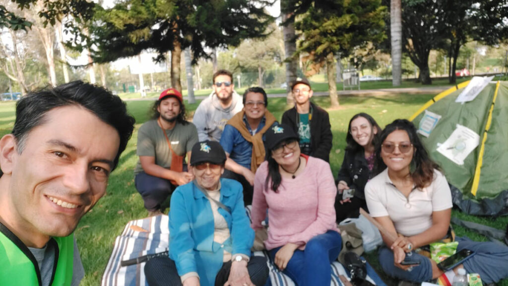
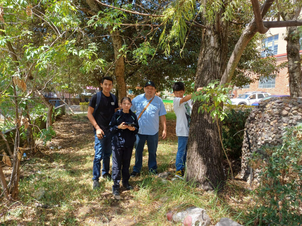
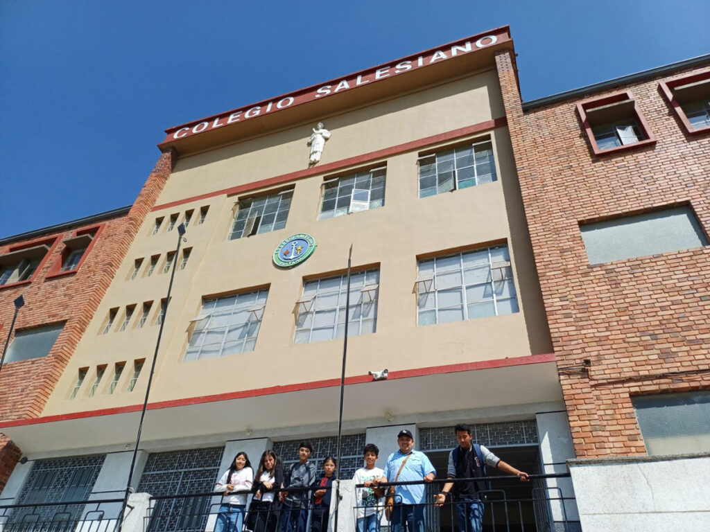
The community of YouthMappers of the National University of Medellin – SAGEMA has been working on OpenStreetMap with topics associated with forestry engineering. One of the works that integrated SAGEMA students with the OSM mapping community was the mapping of trees on the university campus. This activity included not only locating the tree but also taking some field measurements and identifying the species. All this work has involved both groups, and the result has been very satisfactory.
As the young people from the YouthMappers chapters have started to play an important role in the OSM community, as they have integrated very well and have taken the lead in several areas, it was proposed to do a parallel event for the ODD in Medellín and Bogotá. For this, it was decided to do the tree mapping activity, as it could be simplified and divided by removing some of the complexity of the technicality of not only mapping OpenStreetMap, but also the identification of trees, and in this way be able to attract a wider audience. It should be noted that this also fitted perfectly with the ODD 2024 guidelines, which sought to align activities with the UN Sustainable Development Goals.
The entire organisation was done remotely, relying on tools from the OSM LatAm community, such as the HedgeDoc pad, which is a collaborative tool for writing documents. Everything was coordinated in this space, as well as designing the invitation to the community to attend the events.
As tree mapping is a long and complex task, and taking into account that those attending the event probably did not know about mapping, trees or open data, it was decided to divide the whole event into 3 parts:
- In the first part, the whole community was invited to attend in person to an area to collect tree data. In this space, we wanted to talk about open data, OpenStreetMap, and licenses, and we invited them to install the StreetComplete application, which greatly simplifies mapping, as well as allowing them to take photos and write data in notes. This tool was appropriate for this stage as we needed to take some data on the ground, such as height and trunk diameter at breast height. We decided that the best way to collect the data was with OSM notes, rather than having them map directly with the phone, as this requires explaining the concepts of node, way, tags, changeset, and all these particularities of OSM could detract from the objective of the event and confuse the attendees.
- In the second part, we turned OSM notes into points on the map, with a basic tree tag. In this part, mappers were invited who knew the OSM note resolution process, and thus could quickly get the basic information on the map.
- The last part consisted of identifying the species and adding the appropriate labels, with the help of experts on the subject of trees. This part, as well as the second, was decided to be done virtually, as the activities carried out lend themselves to mapping from the computer.
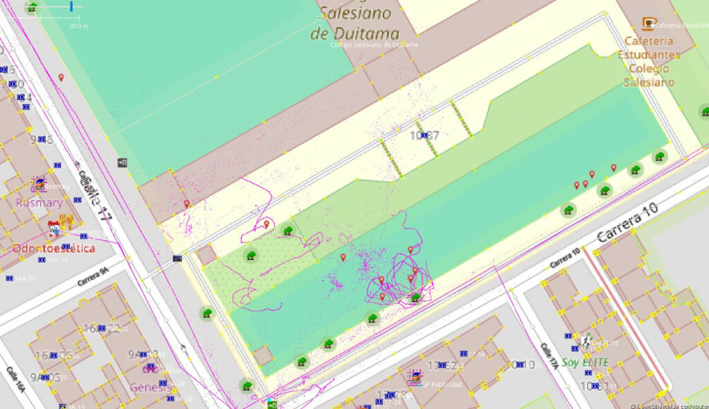
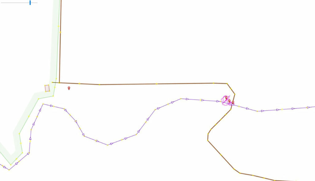
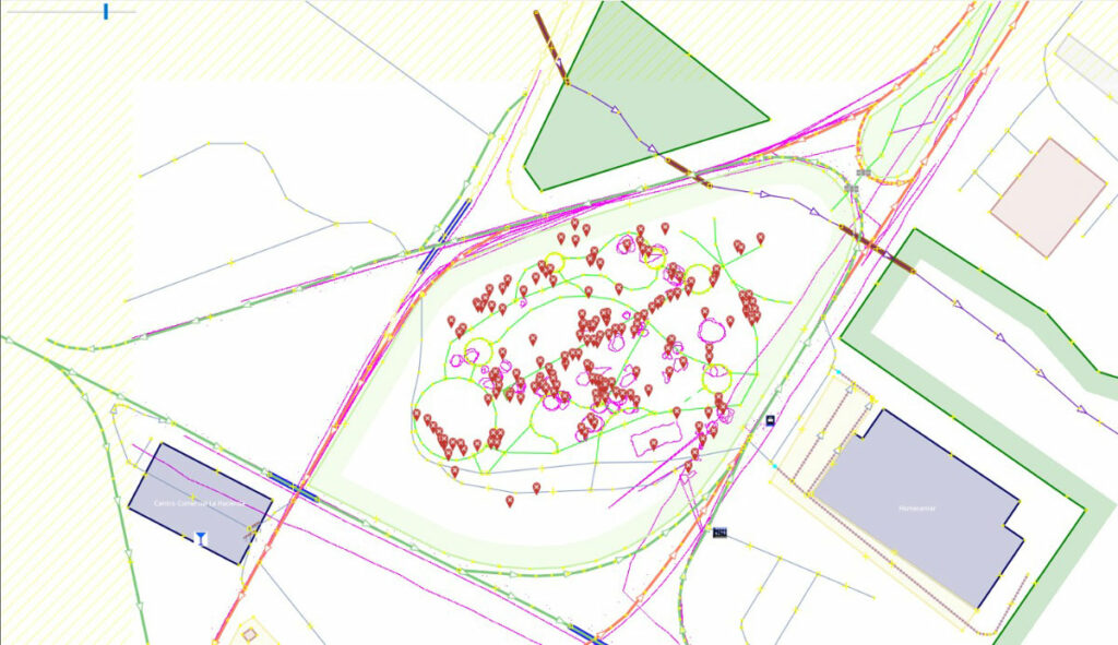
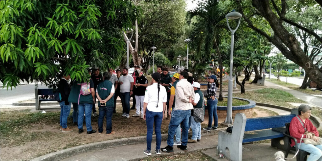
As all this was prepared, the dialogue continued through the communication channels of the Colombian community, and it was in this way that members from other cities became interested in participating. So we went from 2 cities to having the event in 6 cities in parallel: Medellín, Bogotá, Yopal, Duitama, Villavicencio and Granada. This was achieved mainly because the burden of planning and organising the event was distributed so that each volunteer could focus on the realisation of the event in his or her city. What’s more, the different organisers came up with different ways to reach out to their communities, and in Yopal even the mayor’s office invited people to the event on their social networks.
On the day of the event, there was a cumulative attendance of more than 80 people across Colombia, with approximately 30 people in Yopal, and 20 in Villavicencio. This exceeded our expectations, as these events for the organisers in those cities could be complex to articulate the activity with so many attendees. Explaining open data, showing OpenStreetMap, helping with the installation, guiding the tree survey process, and creating notes. But on the other hand, this reflects the interest of citizens to recognise their terrain and contribute to its improvement.
Anyway, the first part of the event, which was the most important part because open data was collected on the ground, had very good results. More than 500 notes were created all over Colombia, which is equivalent to 500 trees inventoried; more than 1200 photos of trees were captured.
As the other two parts required virtual computer work, attendance was much lower, but those who attended understood the potential of how this data collected in the field would be aggregated in the OSM database, and how it could then be used for different analyses. However, due to the large numbers captured in the field in the first stage, we were not able to complete the work in the virtual sessions, and this data will remain for the OSM volunteers who continuously resolve notes in Colombia.
In conclusion, we can say that the results of this event exceeded our expectations, but this success was achieved by the integration of the community. In addition, it was integrated with activities that are already carried out within the community, such as tree data collection and note resolution, so the ODD was an event to attract new contributors and to spread the importance of open data. Finally, as we continually do these activities, attendees have participated in other events and have become interested in OSM, open data, and how they can contribute to the community.
About Open Data Day
Open Data Day (ODD) is an annual celebration of open data all over the world. Groups from many countries create local events on the day where they will use open data in their communities.
As a way to increase the representation of different cultures, since 2023 we offer the opportunity for organisations to host an Open Data Day event on the best date within a one-week period. In 2024, a total of 287 events happened all over the world between March 2nd-8th, in 60+ countries using 15 different languages.
All outputs are open for everyone to use and re-use.
In 2024, Open Data Day was also a part of the HOT OpenSummit ’23-24 initiative, a creative programme of global event collaborations that leverages experience, passion and connection to drive strong networks and collective action across the humanitarian open mapping movement
For more information, you can reach out to the Open Knowledge Foundation team by emailing opendataday@okfn.org. You can also join the Open Data Day Google Group to ask for advice or share tips and get connected with others.


