![]()
This guest post was submitted by Bob Kerr of Openstreetmap.org.
Openstreetmap.org has just had its 8th Birthday. For those new to the name, Openstreetmap is the wikipedia of maps or rather a single map, the map of our world. Initially born because the cost of licensing Ordnance Survey data was £5000 for a single use, the people who wanted to make maps of their own neighbourhood decided to create their own data and share it.
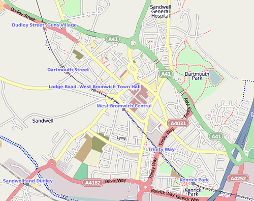
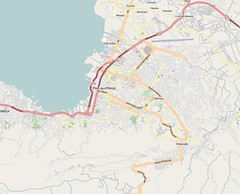
If you visit our website you will see the standard map – much like google maps, you can zoom in and explore. You can also view the data displayed as a transport map or cycle map. The cycle map is popular because it shows exactly what cyclists want: how steep are the hills, where are the official cycle routes, cycling shops, pubs (and toilets) etc. These maps are windows into our database.
Our database is big, 250 Gigabytes of data created by over 700,000 people of whom 30,000 contribute on a weekly basis. 90% of the 850,000 named roads of the UK are shown; we hope to get them all by next year. The highest quality of mapping is in Europe but the rest of the world is hearing about us and following our lead.
My passion for this data stems from my volunteer work in developing countries. Not many people realise that only about 20 percent of the world has up to date maps. If you were the head of a local community of 20,000 folk and you want to organise sanitation, medicine, water, education, land use management or tax collection you would find it a lot easier if you had a map. A map in your own language that you can share with everyone and that can be updated when it changes. At present for a huge number of people this is not possible.
A few years ago there was a tsunami in Thailand; not many people realised that there was no map of the area until 3 months after the disaster. After the Haiti earthquake Openstreetmap was given Satellite imagery of the island and within 2 weeks had mapped the entire country, including blocked roads and refugee camps. The map became the standard map for all aid agencies including the US Military. The map was recognised by the UN and the World Health Organisation.
If you don’t have a map, how do you distribute aid, vaccinate large populations of children, know where your schools are? Amazingly enough there are lots of good Non-Government Organisations doing great work without maps, but this stops and is forgotten when they leave because there is no local government to take it over.
A map can show not only what is there but who: community groups, doctors, lawyers, teachers, police, businesses, transport, hobbyists, farmers, historians or even people that believe in Open Knowledge.
I have a second reason for liking this data: maps were the first visualisation of complex data. We can now add statistics on top of that data to create heat maps or to start bending the data in interesting ways. I believe that we are starting to see an evolution in a new language, a language of visualising complex data. We have not got to the point of defining the language yet but the first letter of that language is an undistorted map of the world. We now need to define other letters, and the structure and rules, so that everyone can learn and enjoy it.
Openstreetmap is having a conference in Scotland. It is not often that there is a place to meet with crowd sourced groups. We are a diverse group of people and would like to invite you to meet us to find out what we do and how we make the map – it is a lot easier than you think. We are also reserving some time in the afternoon so that you can come and talk to us about your projects. We have open half-hour slots which can be used for presentations, discussions or open questions. Naomi Lillie will be giving a talk on an overview of the Open Knowledge Foundation. If you would like to speak at our conference please contact me: Openstreetmapcraigmillar [at] yahoo.co.uk
As I stand on my high hill and look down into the valley of my adopted virtual impoverished town, my mind spins with all the myriad of things that could help alleviate the worst suffering that ignorance can bring. Before the aid workers, doctors and teachers arrive, before people are questioned to see if they can read, before even the food arrives… I need to start with a drawing that everyone can share. A drawing that says “this is where we are, now we can start to organise ourselves”.
Please come and join us, the event is free, and we want to meet you too.
To find out more please search for “State of the Map Scotland 2012” and click on the wiki page. Booking is through Eventbrite.
Naomi joined Open Knowledge Foundation in 2011. At various points she has been involved with administration, finance, project management, HR, the community network, events, communications, and other miscellaneous areas where a helping hand was needed.