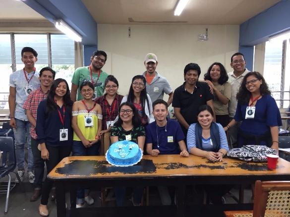
This blog is part of the event report series on International Open Data Day 2018. On Saturday 3 March, groups from around the world organised over 400 events to celebrate, promote and spread the use of open data. 45 events received additional support through the Open Knowledge International mini-grants scheme, funded by Hivos, SPARC, Mapbox, the Hewlett Foundation and the UK Foreign & Commonwealth Office. The events in this blog were supported through the mini-grants scheme under the Open Mapping theme.
Local open mapping initiatives are those that end up giving flavor to the world of mapping. It must be because you end up with a product and you generate a data that directly influences your community. Two chapters of the YouthMappers network allowed themselves to be seized by this feeling and carried out two events during this year’s celebration of the Open Data Day. Two projects, two different sites and themes that converge in the same goal: the development of their local communities.
Let’s start with the YouthMappers in INES-Ruhengeri. They created open data for the Kangondo Slum neighborhood in the city of Kigali, Rwanda. The Kangondo slum is the largest slum in Rwanda in the Grade A area (upper area) of the city of Kigali. All the houses in the area are not well planned and the crowded houses lack basic needs such as potable water, adequate sanitation and adequate sewage. The created open data will be used for the marginal neighborhood improvement process (Slum upgrading). For them, this activity was a good opportunity to share not only the importance of open data in the development of the local community with attending authorities, but also a time to discuss the use of open data to address local development challenges.
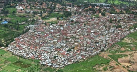
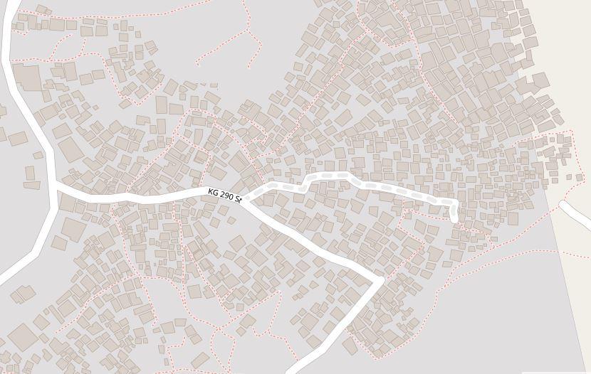
During the event, it was shown how to create open data using the OpenStreetMap online mapping platform. Applying participatory mapping was identified as a powerful measure to show the challenges within community development through evidences. However, it was revealed that there is a big gap to obtain open data. The YouthMappers of INES-Ruhengeri were appreciated for their initiative to create open data and the representatives of the authorities agreed to use that data to make evidence based decisions.
As a result, YouthMappers at INES-Ruhengeri have created 1374 data including slum homes, roads and sidewalks.
On the other side of the world we find the YEKA Street MGA YouthMappers chapter of the Faculty of Architecture at the National University of Engineering located in Managua, Nicaragua. They decided to organize a Mapathon to finalize the mapping of one of their projects on the categorization and inventory of houses with vernacular construction systems, in the north of the country, more specifically in the limits of the Municipality of Condega in the department of Esteli. This project was led by the “Asociación Mujeres Constructoras de Condega” (Condega Women Builders Association), who have been responsible throughout the years for trying to make these techniques recover their reputation and their importance within the culture and history of Nicaragua, which was affected after the earthquake that affected the country in December 1972.
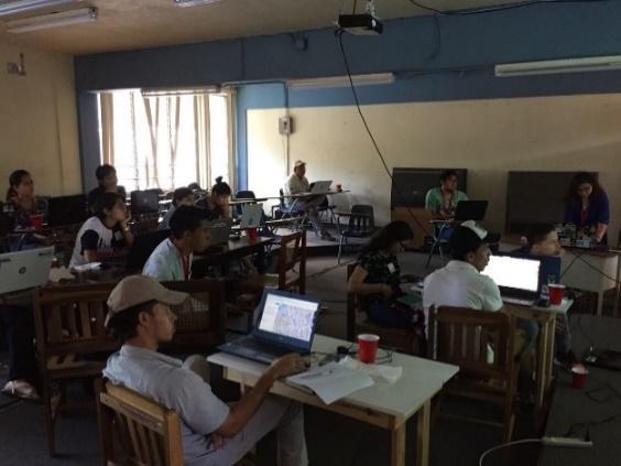
The purpose of this project is to obtain a count of the number of buildings with land-based construction systems existing in the area, the classification by constructive typology of said buildings and the identification of families or people in the area engaged in construction traditional with these systems.
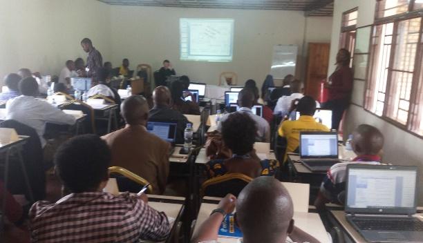
During the execution of the Mapathon they touched on relevant topics for that day, such as: what is open data and why is it important? Also, how does OpenStreetMap and Mapbox, together with organizations such as YouthMappers and YEKA Street MGA, contribute to this ideal? There was also an explanation of what the project consisted of and its purpose and the training of the participants in relation to the use of the OpenStreetMap platform.

The call to the event was very well received, they had an incredible participation. Taking into account the participation in other events, in their context, this type of event is stressful because of the difficulty of raising awareness among the academy and students about the importance of volunteering and open data. That’s why they felt incredible to see such participation on that day and to add two new members to their chapter YouthMappers. The purpose of Mapathon was not completed in its entirety, due to technical problems and poor satellite image with which they counted. But they were satisfied with the fact that they have been able to open a gap within the academy where the use of open data and programs that support them can fit into.
