On Saturday 7th March 2020, the tenth Open Data Day took place with people around the world organising over 300 events to celebrate, promote and spread the use of open data. Thanks to generous support from key funders, the Open Knowledge Foundation was able to support the running of more than 60 of these events via our mini-grants scheme.
This blogpost is a report by Sofia Shapiro from Técnicas Rudas in Mexico who received funding from Resource Watch to collectively explore Mexico’s mandated public data on construction projects and their environmental impacts.
To contextualise the state of environmental open data in Mexico, we can look at the case of the exploding mining industry. In 2011, the Wixárica people started a battle against the Canadian mining company First Majestic Silver Corp which decided to do an open-pit mining project in Cerro del Quemado, a sacred place for the Wixáricas. One of the big questions that existed at that time was where the exact location of the mining operation would be – information that by law should be public, but that the Ministry of Economy kept secret.
Public requests to the National Institute of Access to Information (INAI, formerly IFAI) to see the number of mining operation applications and their geographical locations, were for many years “kidnapped” in the hands of the government, companies and some individuals. It took until 2014 for the Ministry of Economy to deliver the file with the geographical coordinates of the mining operations in an information request to INAI, making it available as “open data” (Sánchez, 2014).
However, to this day there are still many communities that are unaware that their land has already been granted to a company for ecologically devastating mining practices. Part of the reason for this is that even though now the Ministry of Economy supposedly makes information on mining concessions available via their online portal – CartoMinMex (the website currently seems to be down) – the most complete and recent information about mining is not available as open data. It is only possible to view it but not to download it. The second part is that the cost of developing the portal was $855,639.20 in contracts to ArcGIS and $3,045,817.80 in update, maintenance, and support subscriptions for the ArcGIS tools, favouring a large sum to proprietary tools over free and open source tools. This example is illustrative of the general state practice around environmental open data, including other types of projects from pipelines to water sanitation facilities.
In light of the deep lack of accessibility and reliability of this data, as well as the importance of this information to the health of our land, water, and bodies, we invited members of the community to come together to discuss Mexico’s environmental open data resources and what we are lacking.
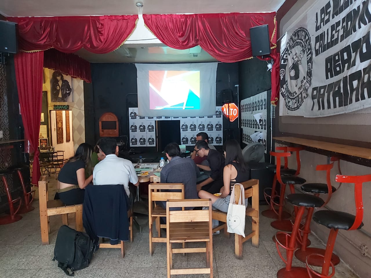
Our March 7th 2020 event was held at El Foro Cultural Karuzo and was hosted by Técnicas Rudas, an organisation dedicated to the intersection of technology, feminism, and human rights, and publicised by Lado B, an independent journalism organisation.
More than a presentation, the event was a collaborative space to explore the data, ask questions and amplify the accessibility of these open data resources in our community. We considered what makes data about construction projects good or trustworthy, why we need it and what is lacking in the data provided by the government. And ultimately we asked how to make this kind of data truly accessible.
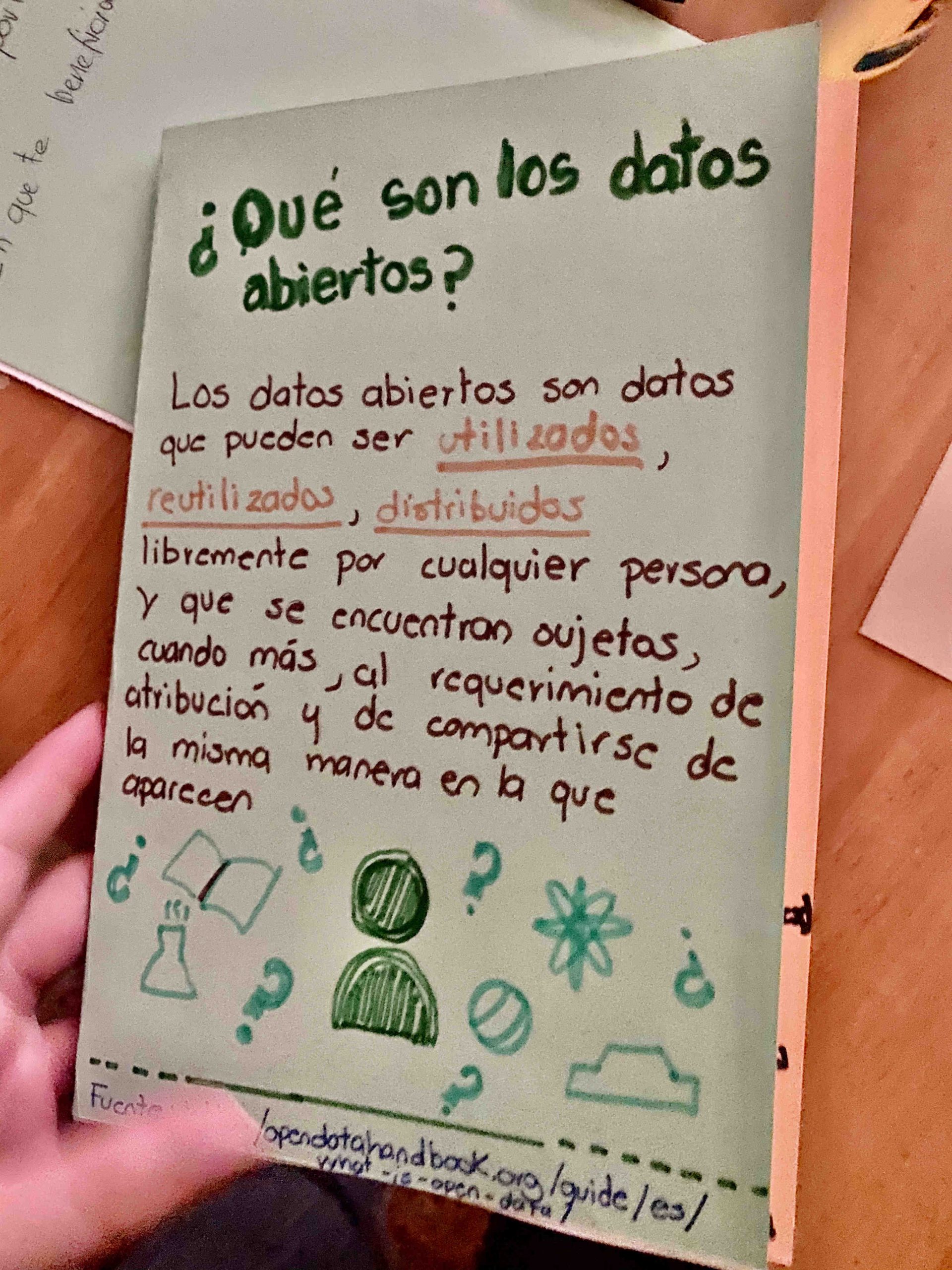
As an exercise in community knowledge and collaborative creation, we made a (rough first draft) zine about open data – specifically data related to the environment and resource extraction in Mexico. It has information on what materials companies are legally required to submit in order to get a pipeline or another ecologically sensitive project approved by the state, and where to find this information. It also has a bibliography of other independent tools for exploring this data, such as geamatica.me, a tool made by Técnicas Rudas to host several open data projects. Amongst these is one project that specifically generates visualisations of preventive reports (ingresos preventivos) during the period of Felipe Calderón’s and Enrique Peña’s presidencies, using sources like the Ecological Gazette, the Environmental Impact portal of the Ministry of Environment and Natural Resources, as well as some official information for access requests.
This zine was a starting point of how to think about bringing this process of data collection, analysis and questioning outside of Open Data Day and into a long-term community practice of proactive involvement and protection of our resources. Together we saw the need for independent projects – both for accountability and publicity – in order to translate this open data into an actionable resource for protecting our environment. Without a vigilant public demanding that this data be open and reliable, the state has shown it simply will avoid the task. And without the perspective of the community the databases will simply not contain important data points we need to inform ourselves properly.
To summarise, some of the open databases and tools we shared with each other were the following:
Government databases
datos.gob.mx – General entry point for government open data on any topic
apps1.semarnat.gob.mx:8443/consultatramite/inicio.php – Current site for all infrastructure/construction applications being processed by the The Secretariat of Environment and Natural Resources (Secretaría de Medio Ambiente y Recursos Naturales)
semarnat.gob.mx/gobmx/transparencia/gaceta.html – Ecological Gazette: list of all projects submitted and approved to the Ministry of the Environment
semarnat.gob.mx/gobmx/biblioteca/biblio.html – Digital library of the Secretariat of Environment and Natural Resources (Biblioteca digital de la SEMARNAT)
Other tools
geamatica.me – Preventative impact reports submitted during the Calderón-Peña period
geamatica.me/SecEco/SecEcon.html – Database and visualisation of mining concessions in Mexico (current plots of land, pending applications for future mining projects, and mining reserve areas – amongst other data points)
sinapsis.lat – A tool designed to detect connections between companies in Latin America, used often to detect irregularities and potential sites of corruption between various corporate and state actors.


