On Saturday 7th March 2020, the tenth Open Data Day took place with people around the world organising over 300 events to celebrate, promote and spread the use of open data. Thanks to generous support from key funders, the Open Knowledge Foundation was able to support the running of more than 60 of these events via our mini-grants scheme.
This blogpost is a report from the University of Pretoria in South Africa who received funding from Mapbox to develop a complete map of minibus taxi routes in Mamelodi East with the local knowledge of school learners.
Our Open Data Day event took place on 7th March 2020 at the Department of Geography, Geoinformatics and Meteorology at the University of Pretoria, Hatfield campus.
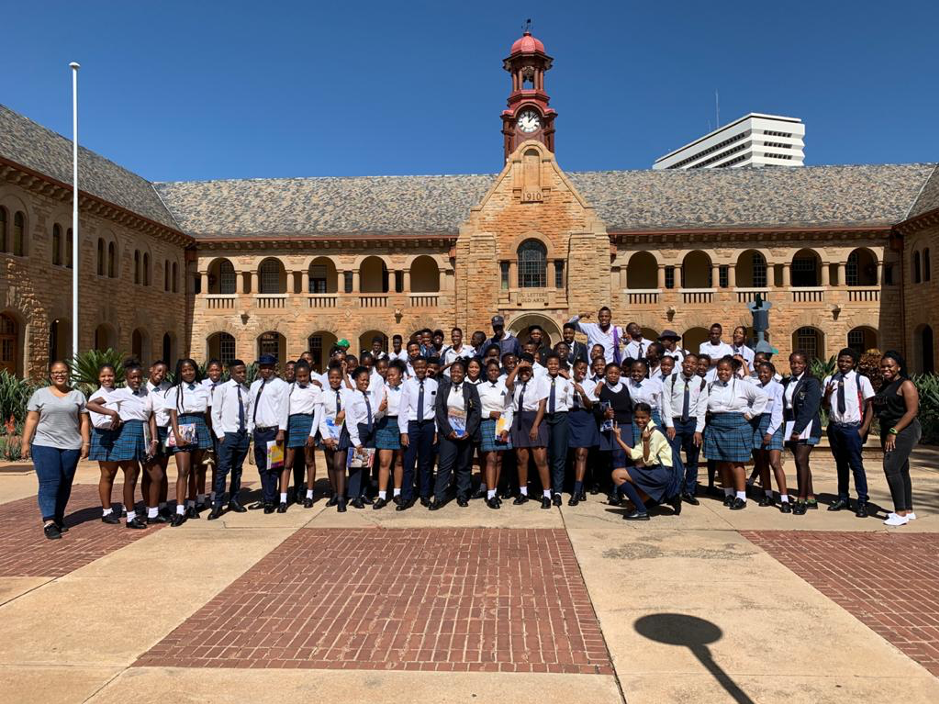
We celebrated the day by hosting 61 Gr 12 geography learners from Dr WF Nkomo High School in Atteridgeville.
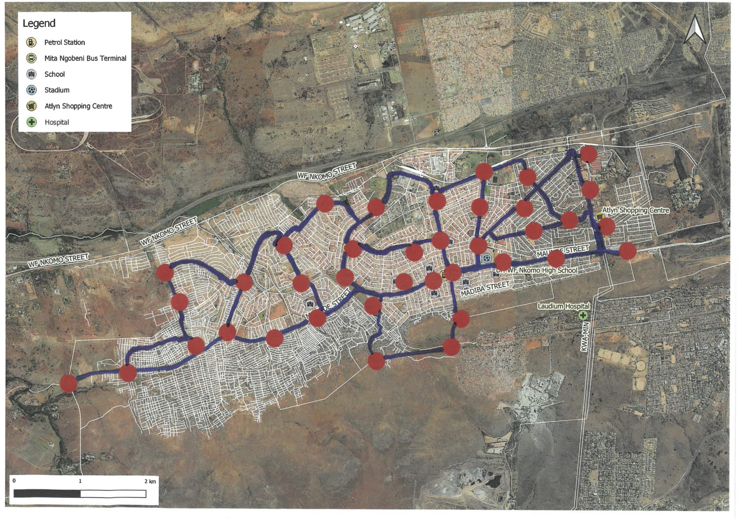
Open Data Day is an annual international event that promotes the awareness and use of open data, and our event focused on open mapping. The aim of our event was to map minibus taxi routes in and around Atteridgeville. This was done in two phases, firstly using an approach called participatory GIS and then using QGIS. Participatory GIS focuses on using local knowledge to collect geospatial data in a community. In small groups, the learners were guided by a student to map the routes and stops using markers and stickers on a A3 aerial image with main routes and points of interest indicated. The learners presented their maps and one of the main observations that the learners make was the lack of information available in their area. The students then explained to them how OpenStreetMap can be used to map their community and the importance of this.
During the second part of the day, the learners were introduced to QGIS (an open source Desktop GIS application). They used QGIS to digitise the routes and stops indicated on their paper maps, to create a digital map of the minibus taxi network in Atteridgeville.
Thank you to all the lecturers, students and learners that made this day a huge success. Most importantly, thank you to our sponsors, the NRF Community Engagement Grant, the Open Knowledge Foundation and Mapbox.


