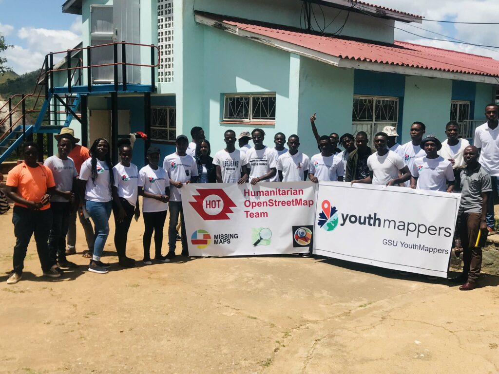
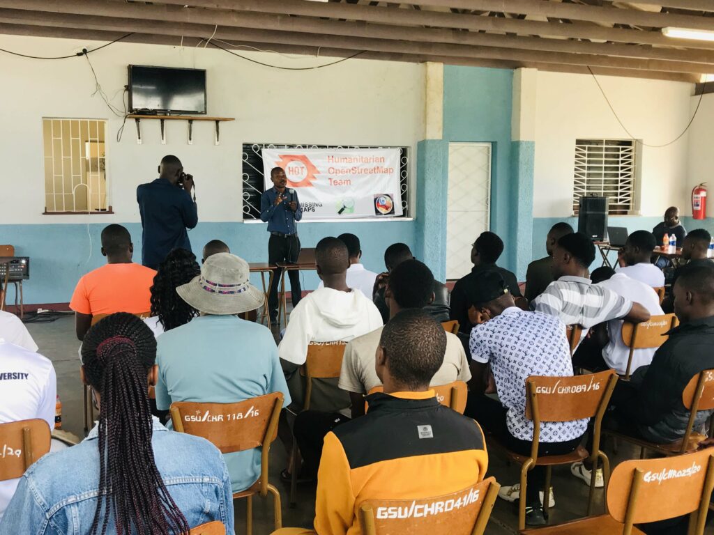
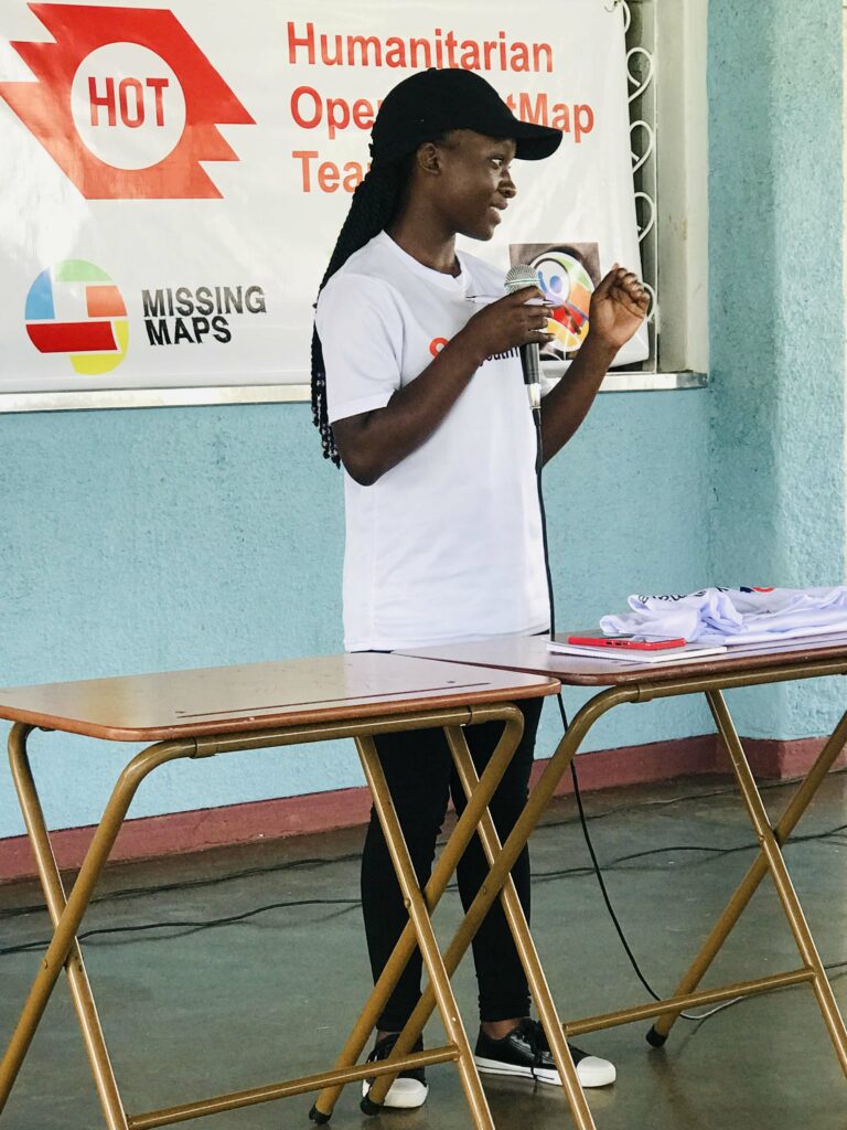
GSU YouthMappers hosted the Open Data Day event on 10th March 2023 at Gwanda State University, Zimbabwe. The event theme was “Open Data and AI in Transforming Agriculture,” and was inspired by how research organisations are using open data obtained from satellite imagery and other sources to come up with tools that are being used in the agricultural sector to assess land and farm produce. This was the first event of such kind at Gwanda State University organised by GSU YouthMappers.

At the event, we discussed the importance of the step taken by the Zimbabwe National Geospatial and Space Agency (ZINGSA) in estimating preliminary crop yields to the Zimbabwean agricultural sector. It was an open discussion led by Dr. Busani Moyo, Faculty Dean of Natural Resources Management and Agriculture at Gwanda State University. It was an insightful session where the speaker outlined the important roles being played by earth observation data in agriculture. He focused on open data in agriculture which helped participants realise how it can be used especially for their projects.
The second speaker was Dr. Kudzanayi Chiteka, Faculty Dean of Engineering and Environment at Gwanda State University and he focused on artificial intelligence. In his presentation, he focused on Regional Centre for Mapping of Resources for Development (RCMRD) and Global Monitoring for Environment and Security (GMES) Africa. RCMRD is using open spatial data from Earth Observation to integrate it with QGIS which has an artificial intelligence aspect in it that allows plugging into advanced visualisation tools. Other software like ArcGIS can do this, but the focus was on QGIS since it is open-source software that is accessible to anyone anywhere. The RCMRD has developed a land productivity analysis tool that can be executed in QGIS with some set of Soil Adjusted Vegetation Index (SAVI) datasets that were converted from MODIS which is free and accessible over the internet.
Lastly, Nettey Madhinga, President of GSU YouthMappers summed up everything with a map illustration that was created using a land productivity analysis tool developed by RCMDRD. The land productivity analysis tool works as a plugin in QGIS and using Soil Adjusted Vegetation Index (SAVI) datasets converted from MODIS (MOD13Q1), a map showing the extent of land productivity in different regions can be created. Initially, we had planned to use SAVI datasets for Insiza District, Zimbabwe specifically where the university is located to come up with a map showing the extent of land productivity to help the farmers understand the type of soil they are dealing with in carrying out their farming activities. Unfortunately, due to a power cut during the event, we could not demonstrate practically how to use the tool, but rather we ended up illustrating using an already existing map.


GSU YouthMappers received a small grant to host Open Data Day(s) (ODD) events and activities.


