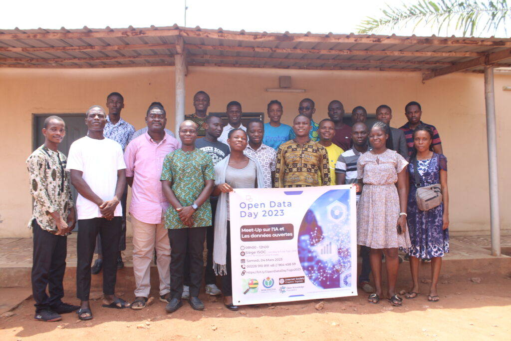
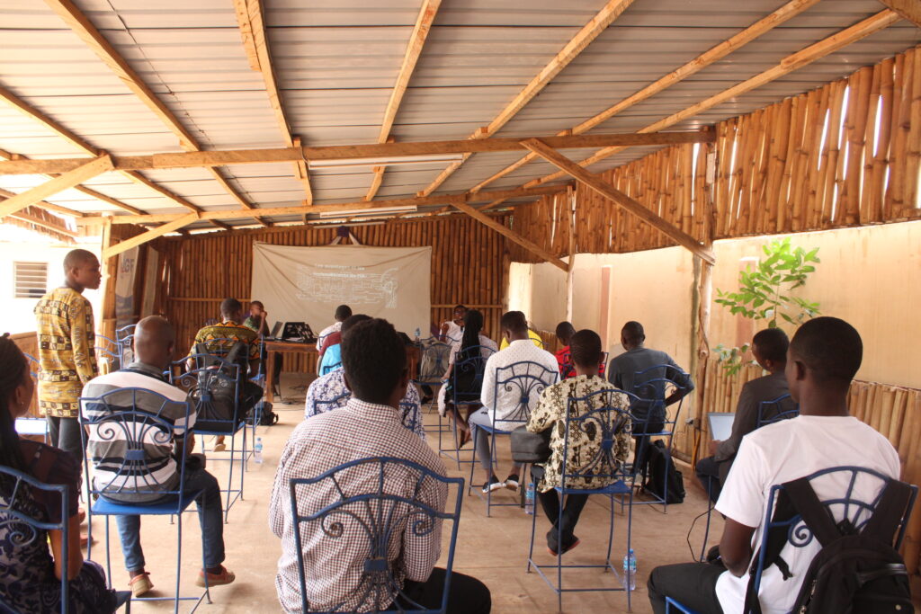
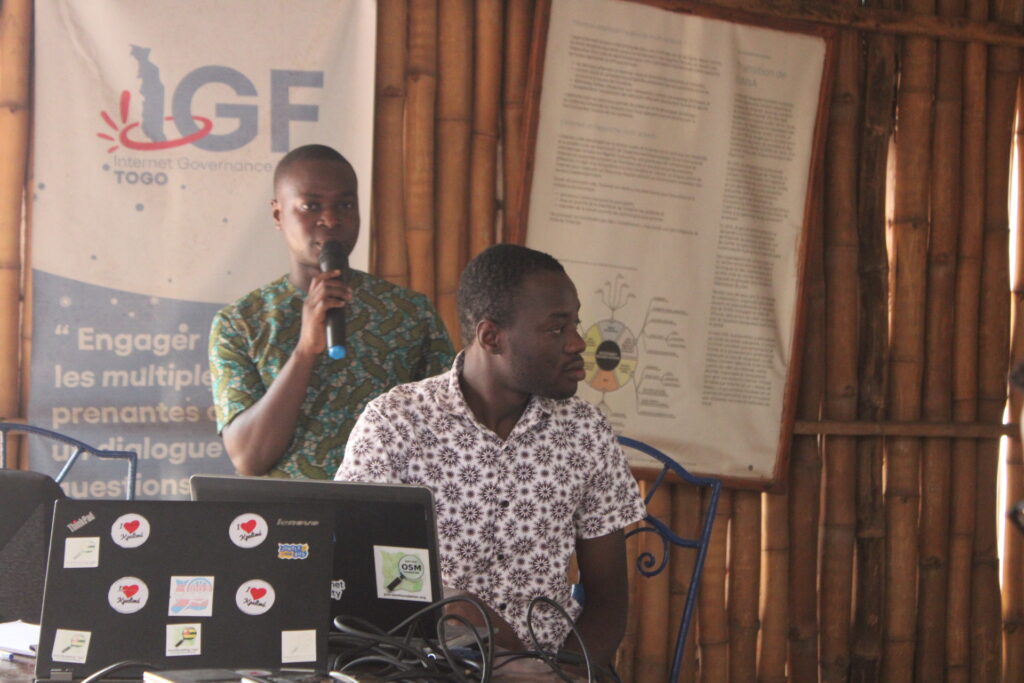
As part of the commemoration of Open Data Day, OpenStreetMap (OSM) Togo in partnership with Wikimedia Community Togo and Internet Society Togo’s chapter hosted a “Meet-up on Artificial Intelligence and Open Data” on 4th March 2023. The event aims to bring together data stakeholders at the same table to discuss the real potential of open data and AI to address the daily challenges faced by communities. Around 25 participants attended the event.

Moderated by Ezéchiel Ametovena, the event started with a presentation by Hermann Kassalouwa, Open Data Activist & President of the Wikimedia Community Togo on the state of Open Data in Togo and Open Data Day. The aim of the presentation was to introduce participants to the fundamental concepts of open data and its state in Togo. Particular emphasis was placed on the laws sanctioning open data and their application in Togo. Practical examples of open data platforms set up by the Togolese authorities for the sharing of public data were presented.
The second session was about Artificial Intelligence (AI) and its applications in humanitarian mapping. Moderated by Kokou Amegayibo, President of OSM Togo, the session showed participants what artificial intelligence is, the different forms of AI that exist, and how AI can break the routine while facilitating human life. Ethical issues, such as accountability and transparency of decisions made by machines, privacy, and data security were also raised to show the limits of AI technology.
Zoubinnaba Youma led the third session where he demonstrated Map with AI, a tool developed by Meta to support mapping through the OSM project. The link was made between the earthquake in Haiti and the one that occurred recently in Syria and Turkey He also showcased the use of deep learning implemented by Mapillary to detect street-level signs.


The final session was made by Ata Franck Akouete, where he introduced the basics and classic techniques of editing articles on Wikipedia and demonstrated to process to use ChatGPT and QGIS. The session showed how to get started with Chat GPT and how it can be used to quickly improve article editing on Wikipedia. He also demonstrated the use of ChatGPT through QGIS to show the participants how to explore its potential in exploiting open geodata freely accessible online. Following this series of demonstrations, a discussion was held around Overture Maps, which is a new geographic structured database on AI and existing open data including OSM.
It is important to note that before the event, more than 40% of the registered participants had no notion about the concept of AI. Presentations followed by Q&A sessions helped to better understand the different topics.
OpenStreetMap Togo received a small grant to host Open Data Day(s) (ODD) events and activities.


