GeoTE Tanzania celebrated Open Data Day on 10 March 2023, where representatives from different organisations and students participated in the event. The event theme was “Mapping with Artificial Intelligence for Disaster Response”, where we aimed to help create open data to help areas affected by earthquakes in Turkey and Syria. The event was successfully organised and outlined several activities aimed at not only contributing to open data but transforming the knowledge of students, researchers, and stakeholders on why open data is so important for development purposes.
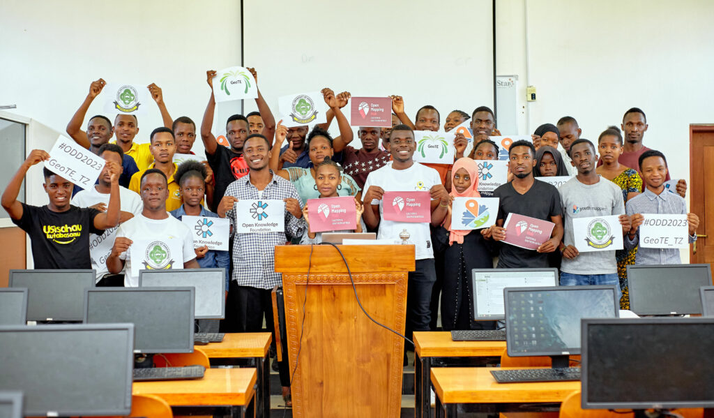
The following are the outlined activities of the event;
- How AI is used in open data creation
Participants had time to be trained on different tools that deploy the power of artificial intelligence in detecting ground features and helping mappers contribute to open data. In conjunction with OpenStreetMap, mapwith.ai enables the mapping community to enjoy a faster & more accurate mapping experience, where artificial intelligence helps to predict features on high-resolution satellite imagery and then these features are then populated in the RapiD, thus open data is created by mappers verifying the predicted features. This was a hands-on training where we interacted with several projects created in the Tasking Manager to demonstrate the power of AI in open mapping. This presentation was given out by YouthMappers from Jordan University and the Sokoine University of Agriculture.
- How to improve the quality of AI-generated data
With the use of AI for data creation, it is very essential to observe the data quality aspect, and apart from using data Quality Assurance tools to help lead to a better quality of OpenStreetMap data, we discussed the need for every mapper to ensure data being generated has all elements of data qualities when mapping/contributing to open data.
- Inclusiveness and collaborations
In this topic, we discussed the need to promote inclusiveness in data-driven community-centred programs in supporting local sustainable developments from the local to a global level. This session aimed at highlighting opportunities for youth, especially in universities to work together with community organisations as a global network of students, scholars, educators, and researchers.
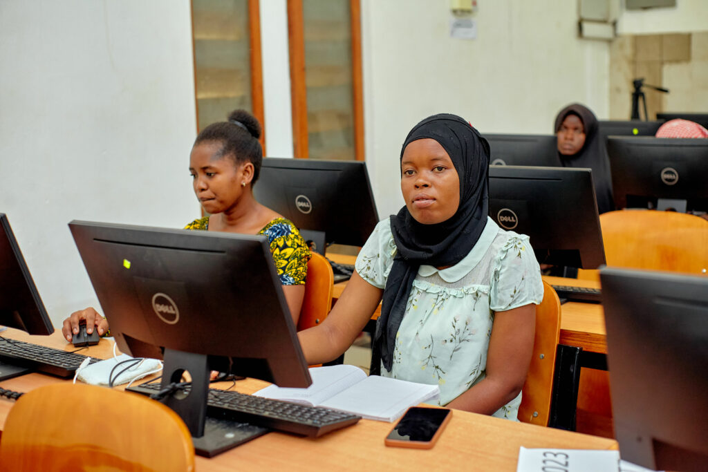
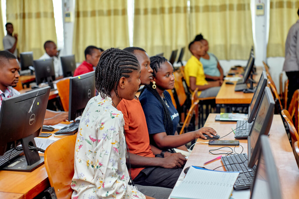
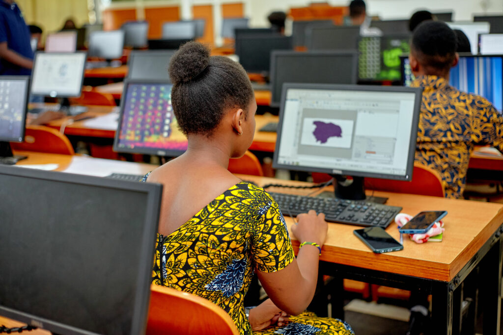
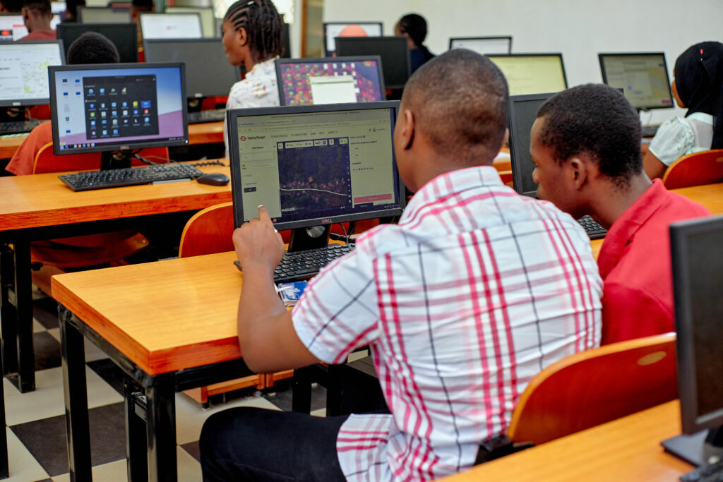
- Mapathon
Finally, we had a Mapping Party (Mapathon) for about 2 hours where participants contributed to open data in project number 14329 and Earthquake affected areas mapping tasks which are all hosted in the Humanitarian OpenStreetMap tasking manager. In two hours of the Mapathon participants helped trace ground features, specifically buildings and roads from satellite imagery where they helped map over 15000+ buildings and about 100 km of roads in the projects.
We learned that AI can assist and amplify the efforts of mappers to produce more map data. However, this comes with a condition of making sure that the data created is of high quality and humanitarian efforts from different mappers of different levels should observe data quality aspects before contributing to data.
GeoTE Tanzania received a small grant to host Open Data Day(s) (ODD) events and activities.


